earch for Fireline download and half the top results assume you are chasing a video game. You are not. FireLine is a wildfire situational-awareness tool — a live map, an incident feed, a way for a district ranger or a homeowner on a ridge to see where a fire sits and which way the wind is pushing it. The install itself is unremarkable: iOS, Android, and a browser client。all drawing from the same public incident data agencies publish. What matters is what happens afterward. I watched a volunteer firefighter in eastern Washington refresh the same screen four times in ten minutes during a red-flag warning. Not because the app was slow. Because conditions were. A Fireline download hands you a window, not a decision.
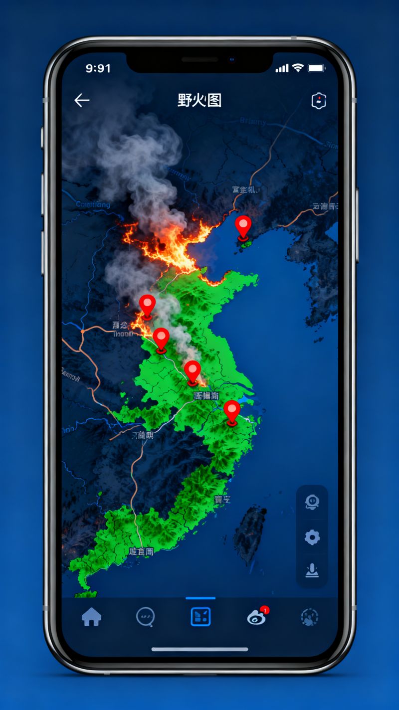
Platform matters less than most reviews admit. The Fireline download for iPhone and the Fireline download for Android behave closely enough that switching devices mid-season will not cost you muscle memory, though Android tends to hold cached tiles longer when signal dies。and on a canyon road that difference is the entire ballgame. Desktop users usually take the web build, which is what I would suggest for anyone watching several incidents at once. Layer toggles are easier to hit with a mouse, the map will not sleep the moment you set the phone down, and you can keep a second tab open for scanner audio. The Fireline download is small enough that storage anxiety should not be the reason you skip it either. One catch worth knowing: notification behavior changes depending on how the app arrived on your device. Store installs get push alerts. Sideloaded builds and browser-pinned shortcuts frequently do not. That gap has burned people who read silence as safety.Latency is the honest limitation, and no Fireline download fixes it. The app aggregates feeds that refresh on their own schedules, satellite hotspots every few hours, agency perimeters whenever a GIS desk pushes them out, often twenty to forty minutes behind the aircraft that flew the line. So the perimeter you are staring at shows where a fire was, not where it is. I have seen that distinction matter more than any feature list. Someone checks the map, sees the edge still two ridges away, decides to finish loading the truck. Meanwhile the head has already spotted past a drainage. Treat a Fireline download as context, not as an evacuation order. Official alerts come from your county。not from a tile server.Setup decisions matter more than which build you grab, honestly. Pre-cache the offline tiles before you drive into a dead zone, not after the smoke column appears。because a Fireline download cannot fetch what it cannot reach. Set alerts to critical-only unless you enjoy your phone buzzing every time a brush fire flares in a county three hours away. Pin two or three relevant incidents instead of the whole state. Check the timestamp on every layer before you read the layer itself. Anyone who has spent a season around wildland crews develops the same reflex: update time first, map second. A Fireline download carrying stale data looks exactly like one carrying fresh data, which is precisely the problem.It will not replace a scanner, a paper map, or a neighbor with a clear view of the ridge. Used well。
a Fireline download compresses the gap between what is happening and what you know, and on a bad afternoon that gap is the only thing you are really managing. Grab it, configure it once, then put the phone in your pocket and look outside. The map is a tool. Your eyes are the sensor.